

Trail
Beyond Angkor visitor route
Seven stops from Siem Reap. The route climbs Phnom Kulen, goes east to Beng Mealea and the old capital at Koh Ker, north to the Temple of Preah Vihear and west to Banteay Chhmar, and ends at the pre-Angkorian site of Sambor Prei Kuk. Planning a visit? See Travel to Cambodia.
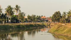
Siem Reap
The city nearest the temples of Angkor; the Siem Reap River, one of four streams from Phnom Kulen, runs through its center to the Tonle Sap.
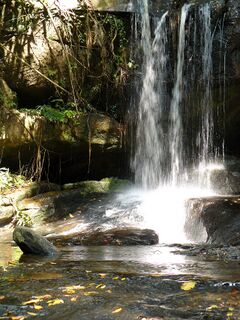
Phnom Kulen
A sacred sandstone plateau regarded as the birthplace of the Khmer Empire; UNESCO dates Jayavarman II's declaration of independence there to 802 CE.
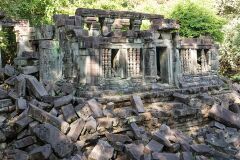
Beng Mealea
Left unrestored in the forest, it lay hidden until French explorers reached it in the late 19th century; landmines kept it closed for decades.
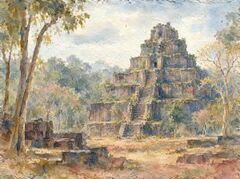
Koh Ker
Also called Lingapura, "the city of lingas", it was a 10th-century capital of the Khmer Empire.
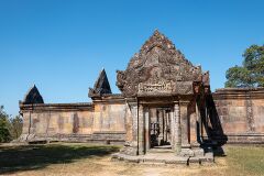
Temple of Preah Vihear
Its sanctuaries run along an 800-meter axis, north to south, unusually for a Khmer temple, on a promontory of the Dângrêk Mountains.
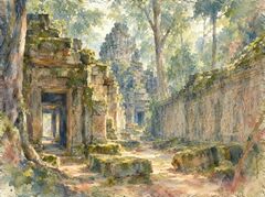
Banteay Chhmar
One of the largest Khmer complexes outside Angkor; its name most probably means "The Barracks", not the often-translated "Citadel of Cats".
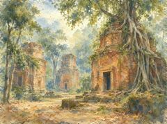
Sambor Prei Kuk
A pre-Angkorian temple site identified as Ishanapura, capital of Chenla; an inscription there dated 627 CE is in ancient Khmer and Sanskrit.